Certificate Program in GIS (Geographic Information System)
About the
Program
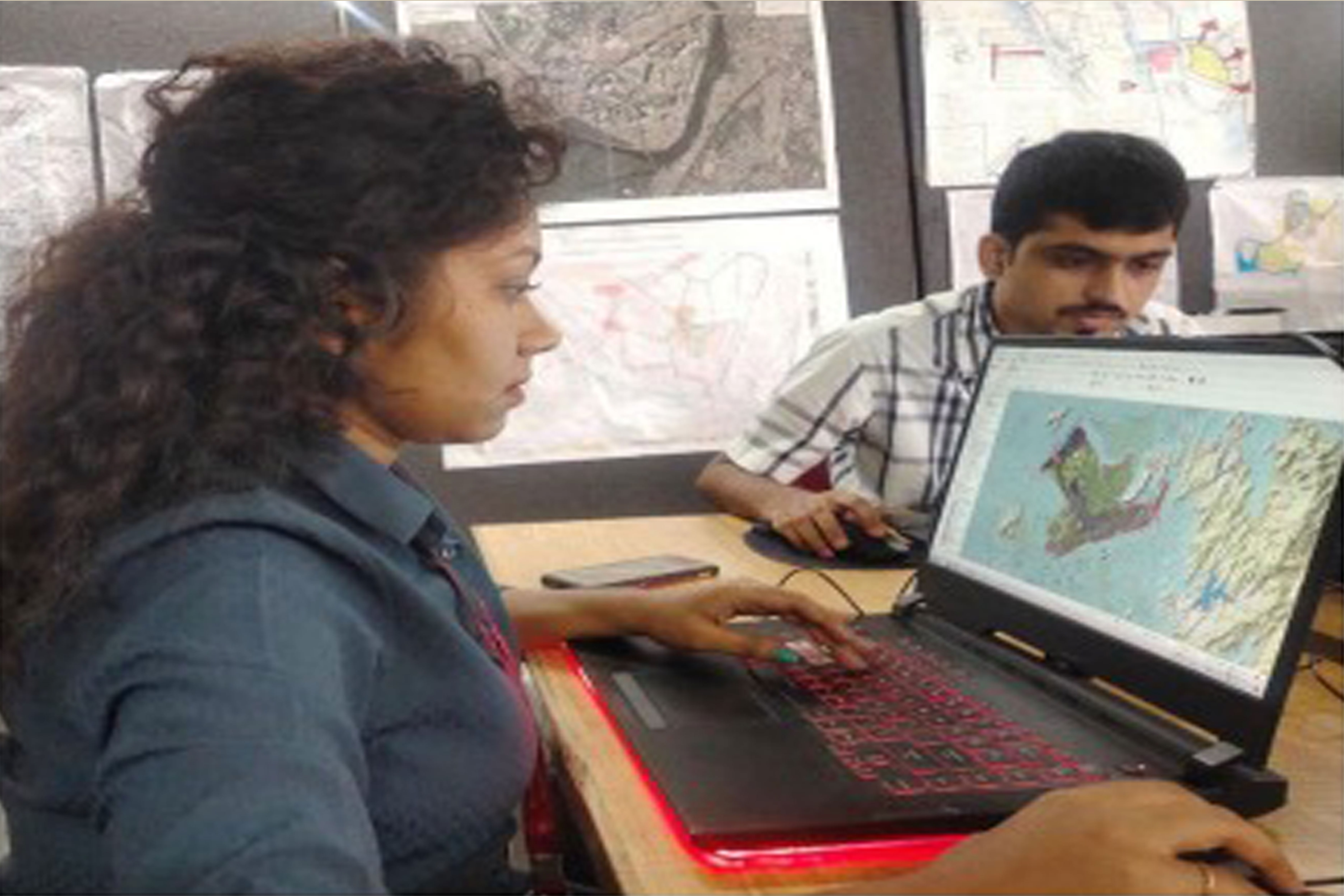
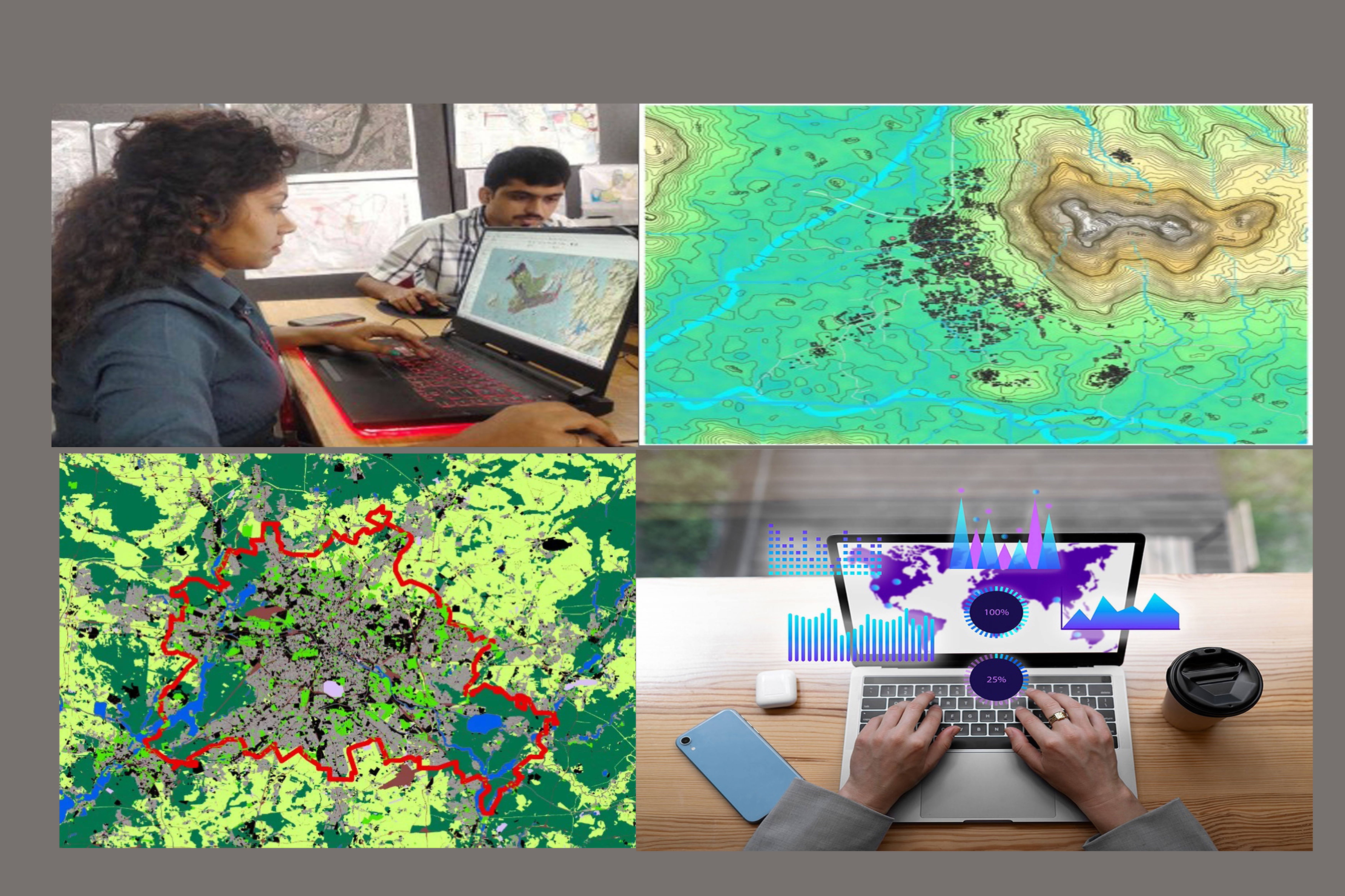
The Geographic Information System (GIS) is a digital technology that integrates, analyses, and displays geographic information, becoming an essential tool for understanding spatial relationships and trends. Offered by DY Patil School of Architecture, the GIS Certificate Programme aims to provide a comprehensive understanding of GIS, its application, and its transformative potential. It intends to bridge the gap between the burgeoning technological realm and the traditional discipline of urban planning. This programme promises an innovative, research-focused, and sustainable approach to urban and regional planning, infrastructure development, and environmental management. The curriculum will focus on delivering practical skills, teaching problem-solving strategies, and acknowledging the increasing relevance of GIS in tackling current challenges of sustainability and urbanisation.Open to learners from various academic backgrounds and professional spheres, the course will enable students to master GIS technology and become adept at handling spatial data. Upon completion, students will not only become proficient in the use of GIS software but also acquire the ability to effectively integrate spatial technology into a wide range of applications – from urban planning, transportation, and infrastructure development to environmental conservation, and more.
Through the GIS Certificate Programme, DY Patil School of Architecture envisions creating a cadre of skilled GIS professionals who can navigate the intricacies of spatial technology with ease. By providing hands-on experience with real-world projects, this programme will offer students a unique opportunity to apply theoretical knowledge to practical problems. As GIS finds its way into more sectors, the program aims to foster professionals who can drive innovative solutions to spatial problems and lead the way towards a sustainable future.
Course
Duration
– 6 months
-4 months (Theory, Studio, Experiential Learning)
4 days a week: Wed & Thur. – 4:00 pm – 7:00 pm
Sat. – 9:00 am – 4:00 pm
Sun. – 9:00 am – 4:00 pm
-2 months (Mentorship Programme)
Course
Eligibility
12th Pass/Bachelor’s Degree/Working Professionals.
Fees Structure
2025-2026
Rs. 1,50,000/-
(Above fees does not include Field trip and Final project material)
Program
Objectives
- Cultivate innovative thinking in students through in-depth understanding and application of GIS in urban planning and design.
- Incorporate research-based learning, using both proprietary and open-source GIS platforms, for effective geospatial data handling and analysis.
- Encourage practical application of GIS skills to create models, investigate urban planning issues, and present effective solutions.
- Keep students abreast with evolving GIS tools and techniques, fostering a sustainable and multidisciplinary approach to urban design.
- Prepare students to handle real-world situations effectively and ethically, producing future-ready professionals capable of tackling global sustainability challenges.
Program
Syllabus
1. INTRODUCTION TO GIS
Provides a comprehensive overview of Geographic Information Systems, its components, data concepts, and applications. This course aims to familiarise students with the GIS environment through a hands-on exploration of various GIS applications.
2. SPATIAL ANALYSIS AND MODELLING
Explores the spatial analysis capabilities of GIS and various modelling techniques. The course provides a practical understanding of spatial data manipulation and prepares students to conduct insightful spatial analyses using GIS tools.
3. GIS IN URBAN PLANNING
Offers an in-depth understanding of the application of Geographic Information Systems in the domain of urban planning and design. This course aims to enhance students’ proficiency in analysing and interpreting geospatial data for effective urban planning.
4. REMOTE SENSING AND WEB GIS
It is a comprehensive exploration of remote sensing techniques and the application of Web GIS, especially in the realm of urban planning. The course aims to deepen students’ knowledge and skills in image classification, analysis, and the integration of remote sensing with Web GIS.
5. ADVANCED GIS APPLICATIONS
It offers an in-depth study of the sophisticated applications and capabilities of Geographic Information Systems. This module aims to foster an understanding of the progressive aspects of GIS and how they are applied in the realm of urban planning and design, including participatory GIS, modeling and visualization, and GIS for smart cities.
6. GIS PROJECT MANAGEMENT
It is designed to impart knowledge and understanding of project management principles within the scope of GIS. This course will provide students with the necessary tools and techniques to effectively manage GIS projects. It will also introduce students to project planning and scheduling and will provide them with hands-on experience in developing a GIS project plan.
7. FINAL PROJECT
It is a capstone module, aimed at allowing students to apply all the GIS concepts, skills, and techniques learned throughout the program in a single, comprehensive project. This course involves the proposal, execution, and presentation of a GIS project, integrating the use of GIS software tools and spatial analysis for urban planning and design.
Program
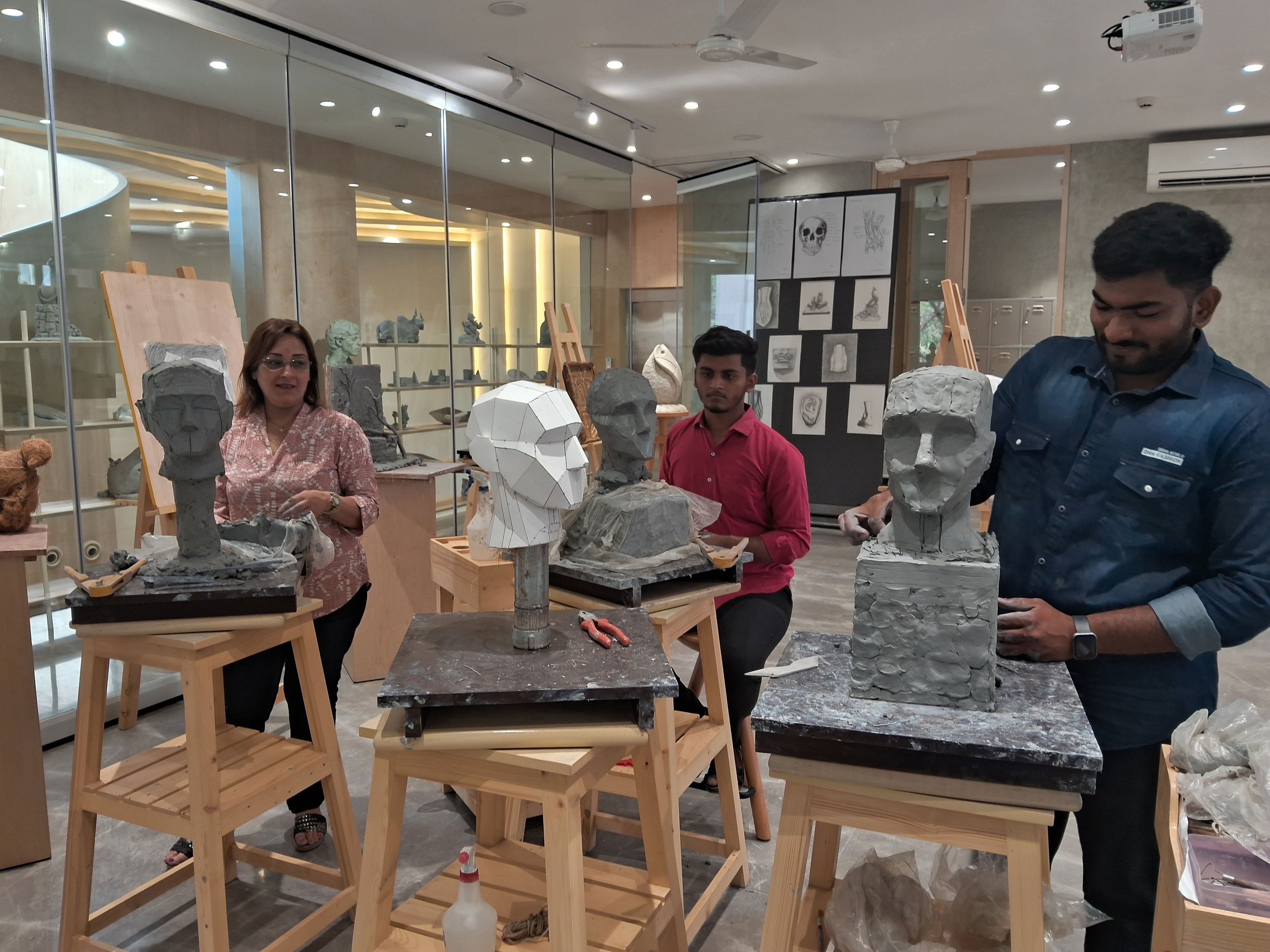
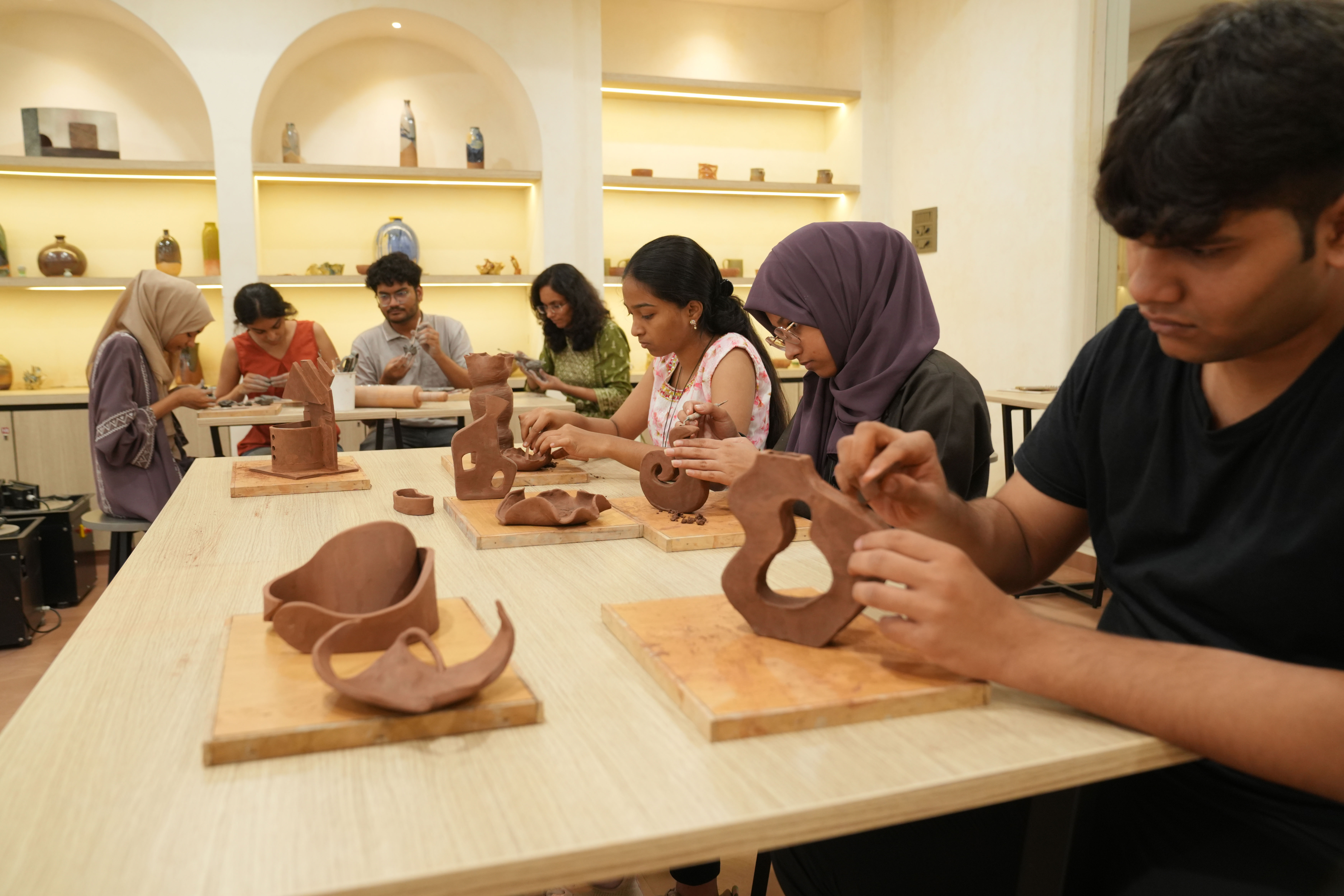
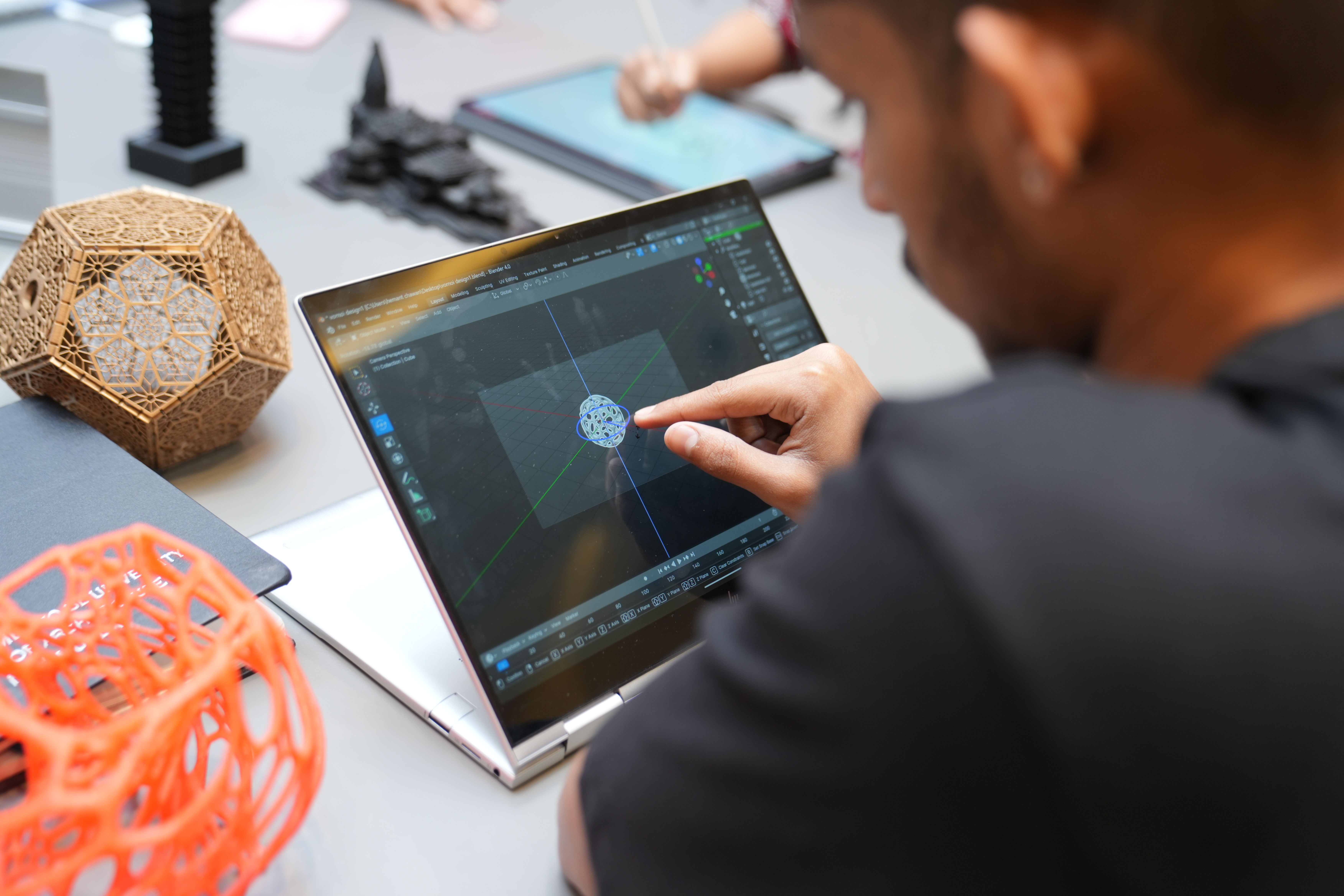
Infrastructure
Our Visual Art and Computational Design labs are equipped with a blend of traditional studio facilities and cutting-edge digital technology. The infrastructure supports creative exploration across mediums, combining hands-on art-making with advanced computational tools. Key resources include high-resolution drawing tablets, 3D printers, laser cutters, VR/AR systems, powerful workstations with design software (such as Adobe Creative Suite, Blender, Rhino, and Processing), and dedicated spaces for digital fabrication and projection-based installations. These labs foster a multidisciplinary approach, encouraging innovation at the intersection of art, design, and computation.